Brickfields Community Woodland
An extensive new woodland in Sutton Manor and Lea Green in St.Helens
with a lengthy brick and industrial heritage!


An Introduction To Brickfields Woodland

So the name of the woodland, which has cost over £2 million, is a highly appropriate reminder of Sutton's past. Brickfields is managed by the Forestry Commission alongside Mersey Forest, who organise occasional events on the site, and it's developing as a place of beauty and a wildlife haven.

The Brickfields project (source Forestry Commission) - the woodlands in the north-west and north-east are separate to Brickfields
Brickfields project - the woodlands in the NW and NE are separate to Brickfields
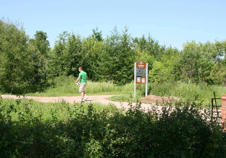
The Brickfields woodland project
The Forestry Commission environmental scientists first assessed the site's suitability as a potential woodland in the Spring of 2006 with soil and water sampling.The land at that time consisted of some neglected woodland, scrub and grassland that was mainly populated by dog walkers and rabbits. In order to expand Brickfields' biodiversity, careful thought was given to the site's suitability to support a new woodland due to its past industrial use, which extends beyond clay extraction and brickmaking.

Take a break on a Brickfields bench - there are several of these novel resting places on the site
Take a break on a Brickfields bench - there are several on the site
Take a break on a Brickfields bench
The History Of The Brickfields Woodland Site
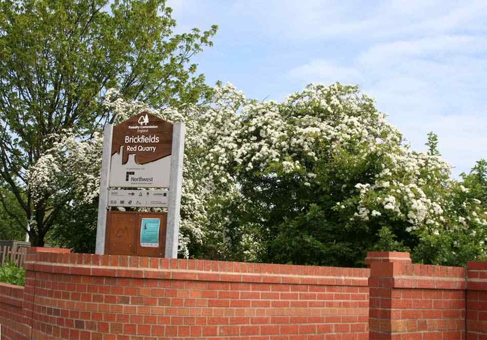
The new Brickfields Woodland is based around tracts of disused land that in recent times comprised the former Sutton Manor Sewage Works, Sutton Manor Colliery Railway and a number of ex-quarries and landfills including Roughdales Quarry, Buff Quarry, Daisyfield and Red Quarry. It had been planned to integrate the former landfill operations at Cory Lord St.Helens adjacent to Brickfields into the scheme. However agreement couldn't be reached and Cory Environmental are separately restoring their site.
1849 Ordnance Survey map of the area - note reference to Roughdales adjacent to Chester Lane
1849 Ordnance Survey map of the area - note reference to Roughdales
1849 Ordnance Survey map of the area
Ordnance survey maps of 1891 and 1907 indicate that there had been an expansion of brick and tile works and associated clay pits towards the end of the century. By 1925 a brick field occupied much of the central eastern part of the site and by 1956 there had been much expansion to the east (known as Daisyfield) and in the south-east. By 1982 clay extraction had been so extensive that the majority of the site was recorded as being a disused brick pit. The nearby Sutton Manor Colliery opened in 1901 and a railway connecting it to the Liverpool to Manchester line soon traversed the south-west corner of the present-day Brickfields site. The embankments of the railway are all that remains with the colliery itself closing in May 1991. Like the railway, the Sutton Manor Sewage Works were located in the south-west of the Brickfields site but the works became disused by 1982.
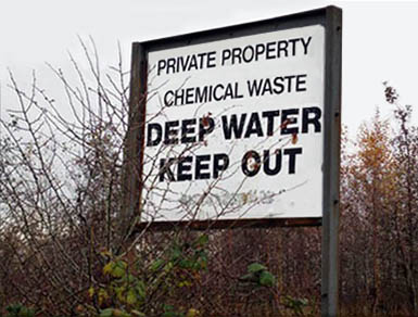
There are few remnants of the site's past still in existence, but this sign (pictured above right) does demonstrate why scientific sampling had to take place. Plus the Pendlebury / Sutton Brook weaves its way through the site, and so it was important to investigate whether there were any risks involved in developing the woodlands site.
c) The Developing Brickfields Woodlands
After receiving the thumbs up from the boffins, the Forestry Commission submitted 40 documents to St.Helens Council's planning department in August 2007 for the development of the site. The plans included proposals for walking and cycling trails, bridges, nature areas and an eye-catching hill top feature. There would be an 'active management of habitats' as well as 'enhanced recreation provision'.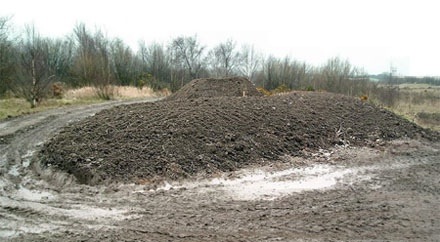
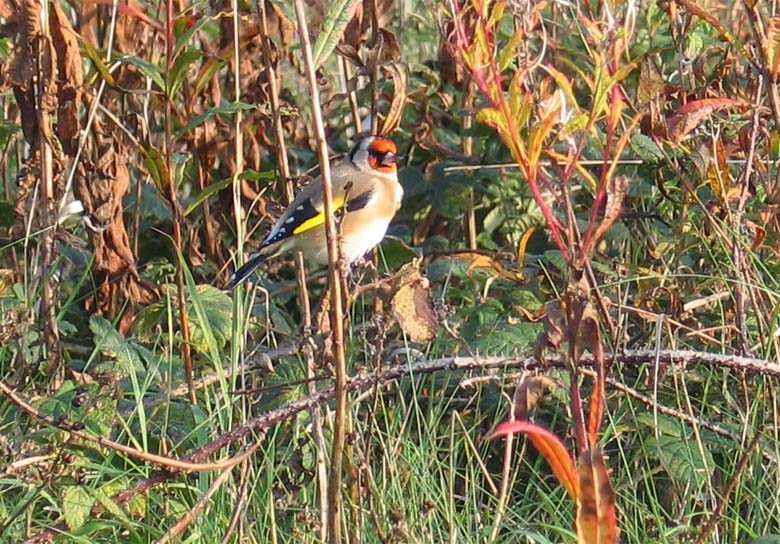
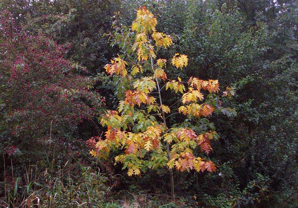
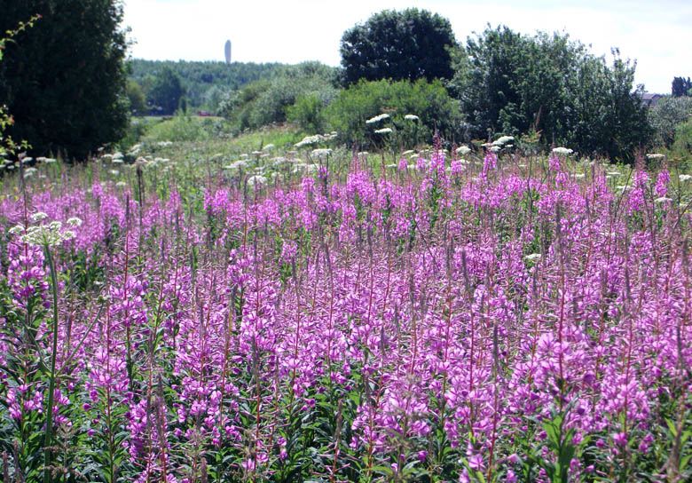
New saplings were planted with additional landscaping work that created hard wearing trails. A central avenue of English oaks was created along with some cherry trees and pines in order to provide variation. In fact the tree, shrub and hedgerow species that have been planted are very diverse and includes silver birch, rowan, ash, hazel, hawthorn, holly, yew, field maple, scots pine, dog rose, blackthorn, common buckthorn, broom and wayfaring tree.

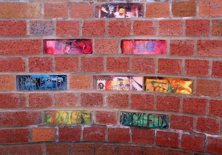
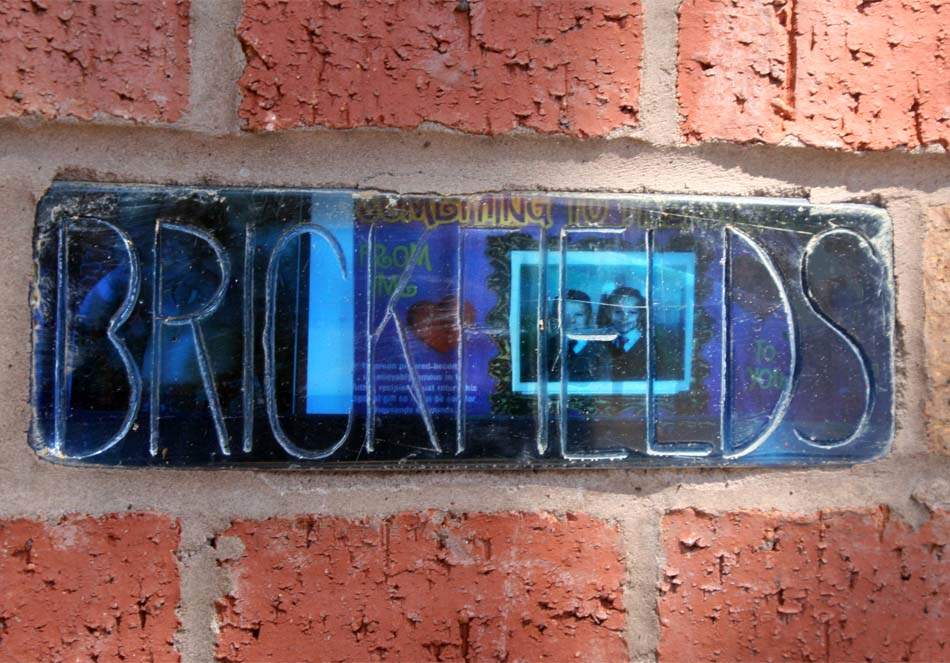
The remarkable glass effect bricks embedded within the kissing gates which are made out of a resin brick format
The glass effect bricks in the kissing gates are made out of resin brick format
Glass effect bricks in kissing gates

Sculptured fossil stones in the centre of the Brickfields site known as Daisyfield
Sculptured fossil stones in the centre of the Daisyfield site in Brickfields
Sculptured fossil stones in Daisyfield
The North West Development Agency have providing £2.1 million of regeneration funding to transform the site, with cash also coming Biffaward, a multi-million pound environment fund managed by the Royal Society of Wildlife Trusts. An additional £302,976 has been awarded through the Integrated Countryside and Environment Plan, delivered by Mersey Forest. St Helens Council and Groundwork have also been involved in the project which includes a 20 year management plan, so Sutton residents and visitors can be confident that this new woodland will be kept in top condition and won't be spoiled by vandals.
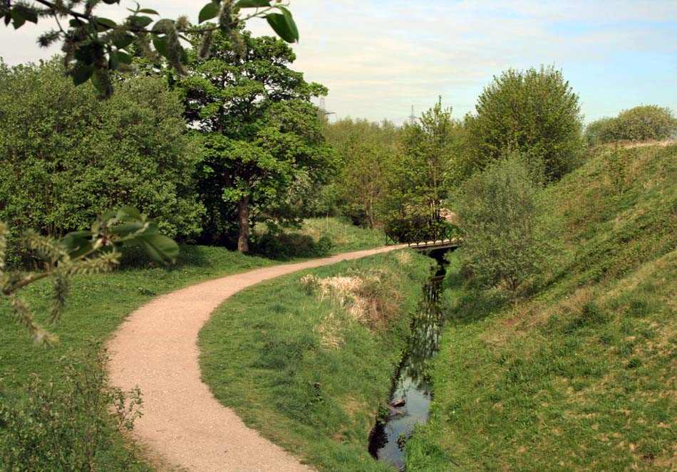
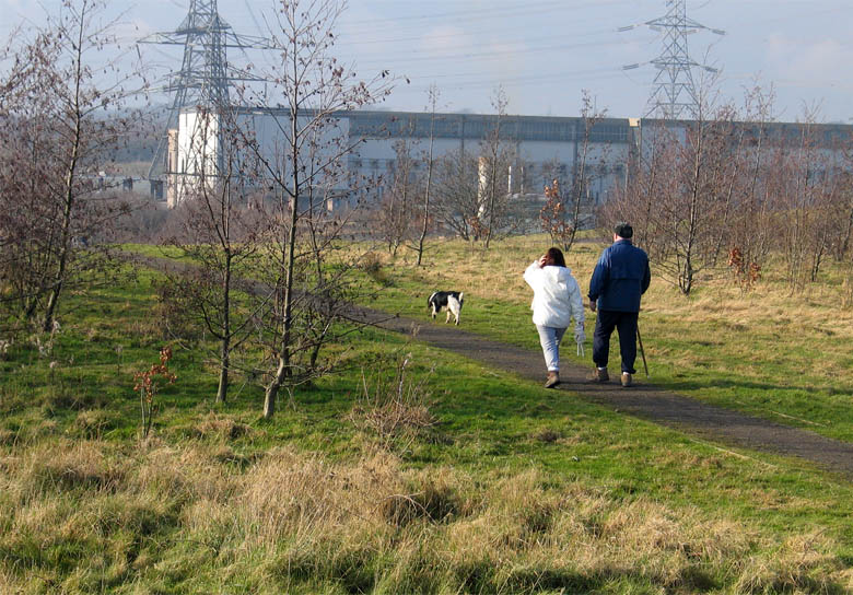
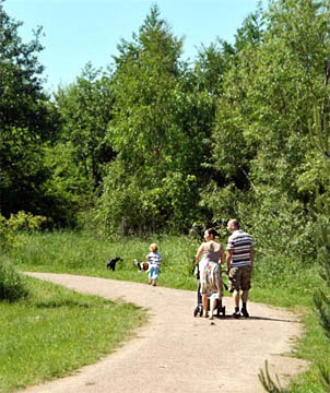
Via the aptly-named Walkers Lane, Brickfields main site connects to the King George V playing fields (a.k.a. Sutton Manor Park) and then over Jubits Lane to Sutton Manor Woodland / Dream and via Miners Way to the Clock Face Country Park. The smaller Brickfields site connects Chester Lane with Clock Face Road and as an entrance to the Sutton Mill Dam wildlife nature park is directly opposite, a loop involving five sites has now been created which makes for a very pleasant walk or cycle. Brickfields is part of Newlands land regeneration programme and forms part of the Mersey Forest in St.Helens which has seen the town transformed over the past ten years with the planting of two million trees.
The last word on Brickfields goes to Bob Baker of Ibstock who summed up the project's concept prior to the closure of his own brickworks:

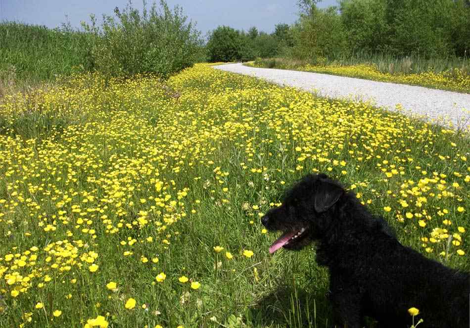
Blackie enjoys the buttercups in the Brickfields Daisyfield woodland in June 2013
Blackie enjoys the buttercups in the Brickfields Daisyfield woodland
Blackie in the buttercups in Daisyfield
Latest Brickfields News:

Blackie inspects the improved bridge over Pendlebury Brook at the Brickfields Daisyfield woodland
Blackie inspects the improved bridge over Pendlebury Brook at Daisyfield
Blackie inspects the improved bridge

The improved pathways at Brickfields Daisyfields site photographed in March 2012 - note Dream in the distance
The improved pathways at the Daisyfields site - note Dream in the distance
The improved pathways at Daisyfields


More On This Website About Brickfields:
Clay Pottery and Brickworks in Sutton article in Industry in Sutton Part 1